
Looking Up Your Lehi Neighbors
A block lookup works best when each source has one purpose. GIS finds adjacent parcel shapes. The Assessor supplies owner and mailing fields. The Recorder provides recorded transfers. Voter data has lawful access rules, and association sites often publish only governance contacts. Historical directories can reveal a past household, not a present neighbor.
| Source | Block clue | Access |
|---|---|---|
| Utah County Parcel Map | Adjacent boundaries, serials, owner context | Free viewer |
| Assessor / Land Records | Owner, situs, mailing, value and tax tabs | Online and counter routes |
| Voter information | Permitted name, address, year, party, vote fields | Own status or lawful request |
| HOA and civic contacts | Board, manager, representative, events | Public pages or association route |
| Historical sources | Past addresses, names, notices, block context | Society, library, catalog, scans |
An owner field proves a recorded property connection. A mailing field shows where notices go. Neither proves who occupies the building. Keep the result date and parcel serial with every neighbor clue.
Map a Lehi Block Lookup From One Parcel
Open the Utah County Parcel Map and search the anchor address or serial. Use the map to walk outward, not to infer a household from a boundary. The viewer has address or place, serial, owner name, PLSS, historic date, Map Layer, Basemap, Map Tools, Print, and Support controls.
- Search the anchor address or serial and note the selected parcel.
- Click or search surrounding shapes and record each adjacent serial.
- Open each property card and compare owner, situs, mailing, and record dates.
- Use the Recorder for a dated transfer, not a current-occupancy claim.
- For a whole named street, move to the by-street walkthrough.
The Lehi by-street directory carries the full named-street record chain. This page stays with the immediate block.
Privacy Limits on a Lehi Neighbor Lookup
Renters and household members are not listed in a general public block roll. Utility and delivery customer data is not public, and DMV records are protected. Utah voter products omit or anonymize at-risk people. Safe at Home can hide an actual address behind a substitute legal address, so a missing neighbor is sometimes a safety feature.
Lawful use. Neighbor lookups are for getting to know a block, reconnecting, civic use, or personal safety awareness. Utah’s stalking statute covers repeated monitoring, approaching a residence or neighbors, communicating, photographing, or disseminating information used to intimidate. Never use a result to stalk, harass, threaten, or harm anyone.
Identify Adjacent Parcels in a Lehi Lookup
After the map selects the anchor parcel, copy the surrounding serials one at a time. The county viewer accepts serial formats such as 38:347:0109 and can accept multiple serials separated by commas. Owner-name search can be slow, so the serial is a better repeat key for the block.
Open each parcel card and save property address, mailing address, subdivision or lot, acreage when shown, owner history, and date. The sample card links to value history, tax history, documents, photos, location, and aerial imagery. Do not assume every card has the same fields or a homestead indicator.
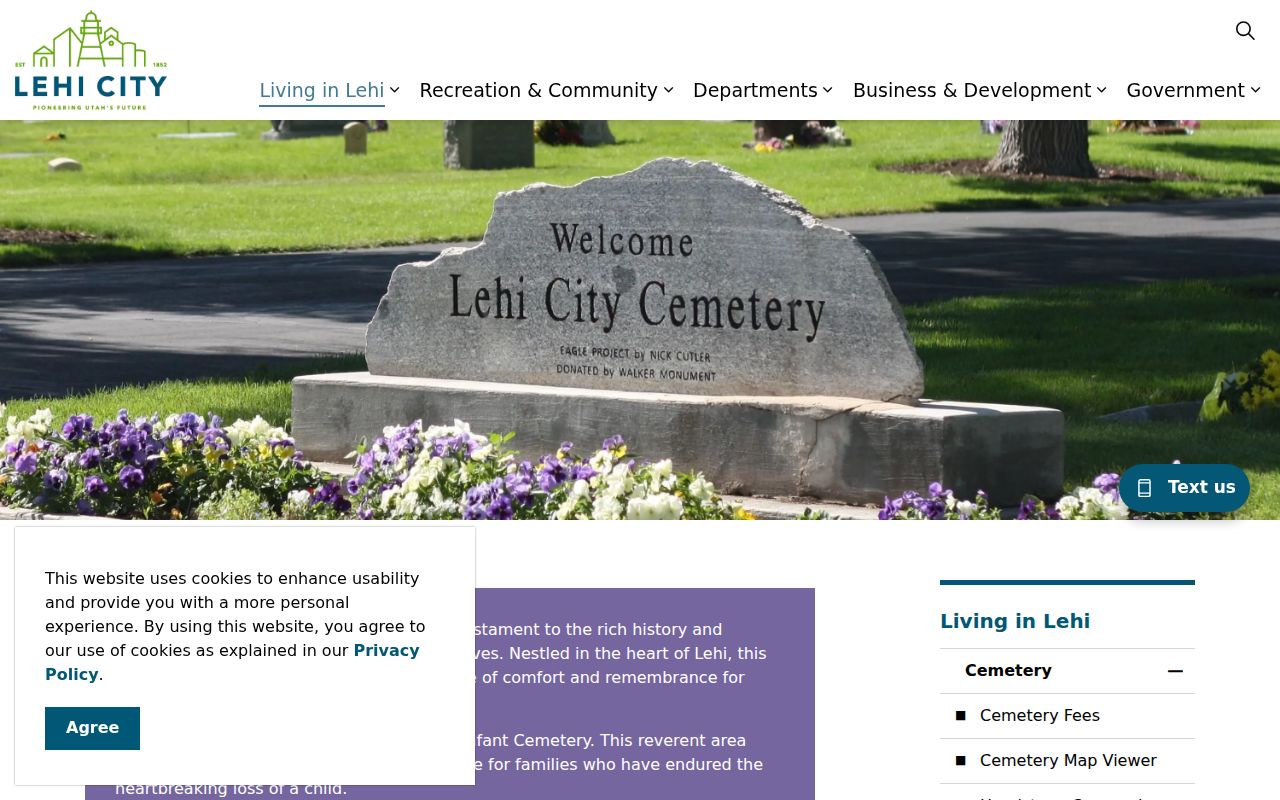
Local map resources help with geography, but a cemetery map is for deceased-person and plot context, not a current neighbor list.
Compare Lehi Ownership Records, Not Occupancy
Use the Assessor for an owner and value clue, the Recorder for a recorded transfer, and GIS for the parcel shape. A mailing address may belong to a trust, corporation, estate, lender, or developer. A situs address identifies the building location. Those fields can point to different cities or ZIP codes.
Utah County’s GIS program also offers polling-location and dropbox maps, infrastructure-district search, and data downloads. These tools add public geography. They do not reveal who voted or create a neighborhood roster. Keep the block source log focused on the task.
Use Civic Contacts for a Lehi Lookup
Lehi Neighborhood Watch uses block captains, phone trees, safe-house suggestions, and a normal-hours police contact. It can help a resident find the right civic connection without publishing private household names. Lehi Cares connects schools, businesses, faith communities, and city partners; it is a network lead, not a resident list.
The city’s records-request page and Lehi Connect communication platform can route a question to the right municipal service. Use the city for a city-held record, the County for land or election records, and an association for its own governance information.
Lehi Neighborhood Watch documents the block-captain route shown here.
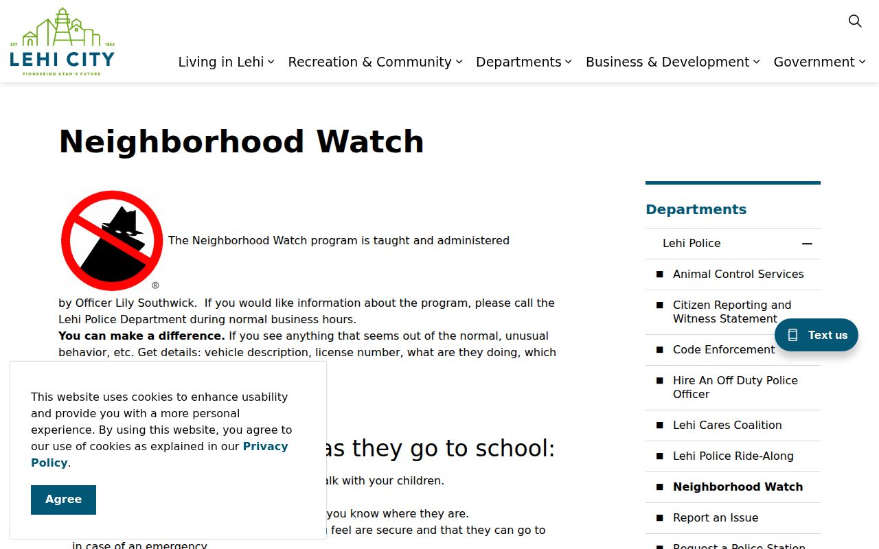
The Neighborhood Watch image shows the kind of official community route that can help a block without exposing a public household list.
Find Lehi Association Contacts for a Block Lookup
Association websites publish different levels of information. The reviewed examples expose boards, managers, neighborhood representatives, meetings, events, or governing documents. They did not expose general member directories. Use the legal name or public contact, then stop when the association keeps membership information private.
| Traverse Mountain | Master association resources include board, neighborhood representatives, sub-association presidents, governing documents, meetings, and events. Member information is gated. |
|---|---|
| Holbrook Farms | Community contact at 4350 W 2360 N; management 801-331-8644 and info@myholbrookfarms.com. No public member directory was found. |
| Lehi Gateway | Master, condo, and townhome boards; public board names and terms; management email hoa@truepointmanagement.com. No resident directory was found. |
Lehi Gateway HOA board information is the source for this association-contact image.
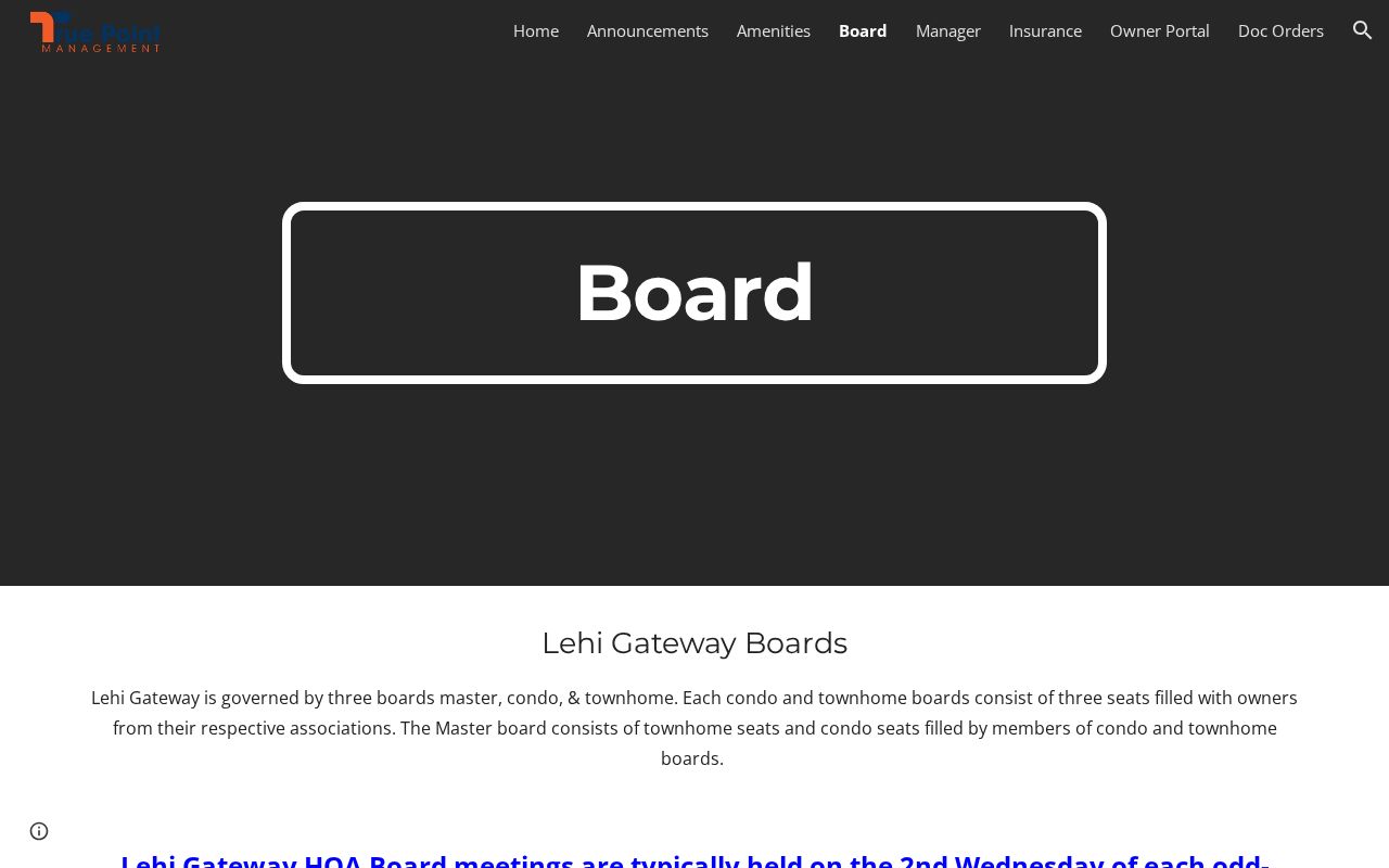
This HOA image illustrates a governance contact route, not a list of everyone who lives nearby.
Search Lehi HOA Records for Contacts
Utah’s new HOA Registry began September 8, 2025. Its search accepts all or part of an HOA name or a registration number. Use it to confirm an association’s legal name before following a public board or management page. Annual registration and renewal are part of the system, but a registration result does not expose every member.
Neighborhood association work is the human side of a block lookup. A public board contact can answer governance or meeting questions, while Neighborhood Watch can route a civic concern. Keep the line between a community contact and a private neighbor clear.
Utah HOA Registry search is the legal-name route represented by this image.
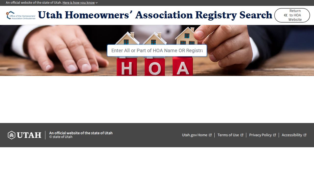
The registry image shows the legal-name search route available for Lehi associations.
Check ZIP and Street Context for a Lehi Lookup
Northern Lehi received ZIP 84048 effective July 1, 2025, while the rest of the city continued with 84043. USPS delivers both through 333 E Main. UGRC’s ZIP polygons are approximate delivery areas, not city lines. A block can therefore appear differently in older directories, a parcel card, and a current postal result.
When the block question expands to a whole named street, use the by-street page. When it moves backward in time, use the historical collections and deed chain. Neighbors research stays at the parcel radius and community-contact layer.
Official Rolls Versus Lehi Lookup Tools
Official rolls have a named custodian, a defined field, and a stated access rule. Commercial neighbor tools may combine public and proprietary data, vary in freshness, charge for results, and offer different correction or opt-out processes. They are not substitutes for the Utah County parcel record, the Clerk’s lawful voter route, or an association’s own contact.
For a small block, the official route is slower but easier to audit: map the parcels, copy serials, compare owner and mailing fields, and contact the civic or association source only when its published route fits the question.
A block source log should not become a dossier. Keep only the anchor address, adjacent serials, source URLs, parcel dates, public contact details, and the narrow answer needed. Do not copy full birth dates, phone numbers, signatures, or protected addresses. The Utah voter privacy page makes clear that several identifying fields are not public, and Safe at Home exists precisely because a real address can create danger.
When a parcel has no clear neighbor result, try the address in the county map, then use the owner or serial route. Compare subdivision and lot details when multiple units share a parcel. If the map and Assessor disagree, contact Utah County GIS or the Assessor rather than choosing the result that looks most convenient. The county GIS contact is utahcnty@utahcounty.gov and 801-851-8626.
Community groups can help with the human part of a block question. Neighborhood Watch uses block captains and phone trees. Lehi Cares connects local institutions and city partners. Traverse Mountain publishes representative and board resources. Holbrook Farms publishes a management contact. Lehi Gateway publishes board structures and management contact. Each route is useful because it names the right civic or association contact without pretending to reveal a private roster.
Lehi’s postal geography can also change the way a block appears. The 84048 split affects northern addresses after July 1, 2025, while 84043 remains the wider central and southern code. A ZIP is not a radius, and the UGRC polygon is approximate. Keep street, parcel, city, ZIP, and association fields separate when describing your neighbors.