
Lehi ZIP Codes and Their Reach
Two postal codes are verified for Lehi in the reviewed USPS and Utah GIS material. The northern change is recent enough that address databases, old directories, and property exports may not agree. Keep the effective date with the ZIP whenever a record is used for family or parcel research.
| Postal code | Areas covered | Post office | Search note |
|---|---|---|---|
| 84043 | Central and southern Lehi, the rest of the city after the northern split | Lehi Post Office, 333 E Main | Do not reduce this ZIP to one neighborhood |
| 84048 | Northern Lehi delivery area | Lehi Post Office, 333 E Main | Effective July 1, 2025; older data may lag |
| 84045 | Adjacent Saratoga Springs comparison area | Do not label as Lehi proper | Check city and parcel before using |
No other ZIP was verified as Lehi-proper in this research pass, and no PO-box-only or unique institutional ZIP should be added without a USPS or UGRC source.
Finding Lehi Residents by ZIP Code
A ZIP code directory is usually a secondary search layer. The Assessor form captured in the research does not make ZIP the primary field. Start with address parts, city or location, owner name, or serial, then use the returned mailing and situs ZIP as a check. GIS address autocomplete also expects a full address or serial rather than a ZIP-only household query.
- Run the Utah County Assessor address search with number, direction, street, type, and Lehi location.
- Copy the parcel serial and compare its situs and mailing ZIP on the property card.
- Open the Parcel Map by address or serial and confirm the parcel’s city context.
- Use lawful voter-data or county-list channels only when the defined request permits them.
- Verify delivery with USPS AIS, then move to the street-level record trail.
Once a ZIP narrows the area, use the Lehi by-street directory for parcel and address work. A ZIP alone cannot identify a household.
Lehi ZIP Areas Are Not City Limits
Utah GIS and UGRC describe ZIP polygons as approximations of USPS delivery areas, not geographic or municipal boundaries. A postal city can sit beside a parcel line, and a ZIP can cross a city line. Census QuickFacts describes Lehi city geography, not postal geography. Use the city field, parcel map, and USPS result as separate columns.
- ZIP versus ZIP+4
- A five-digit delivery area versus the extra four digits that narrow a delivery point.
- PO-box ZIP
- A postal code assigned to boxes or a postal facility rather than ordinary street delivery.
- Unique ZIP
- A code assigned to one large organization or special delivery destination.
- Carrier route
- A USPS delivery route inside a larger ZIP service area.
Why Lehi’s ZIP Code Gained 84048
USPS announced a new ZIP code for rapidly growing northern Lehi on May 30, 2025. ZIP 84048 became effective July 1, 2025, delivered through the Lehi Post Office at 333 E Main, while the rest of Lehi continued with 84043. USPS allowed old and new addresses to be delivered for one year as customers updated their records.
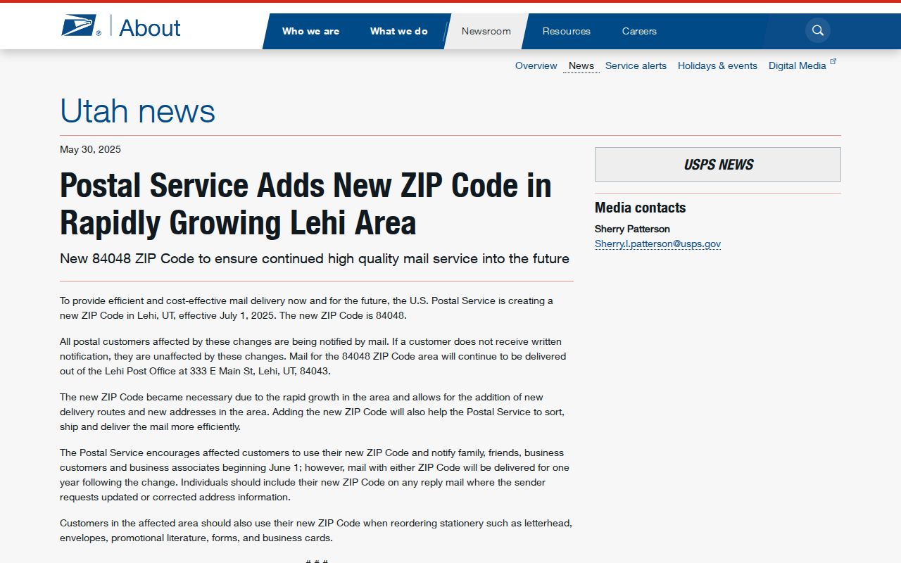
The USPS image is the date anchor for the ZIP code directory. A pre-July 2025 directory may show 84043 for an address now associated with 84048.
Utah GIS later described an approximate 84048 polygon built with Lehi and Utah County from about 11,500 address points. That layer helps explain the split, but it remains a delivery-area approximation.
Use Lehi ZIP Records After the Code
Utah County’s address-search instructions expose a number, direction, street, street type, city or location, name, serial number, record scope, Search, and Reset. The captured material shows All Records and Current Records Only. ZIP is a result check rather than the main search field. This matters when an older export has not caught up with 84048.
| Address number | Street number. |
|---|---|
| Direction | N, E, S, or W as applicable. |
| Street type | Street, Drive, Circle, Way, Lane, Avenue, Boulevard, Court, Parkway, Place, or Terrace options are shown; verify the live list. |
| Name or serial | Owner-name and parcel-serial fallback routes. |
| Scope | All Records or Current Records Only. |
Parcel cards expose mailing and property addresses and can show 84043 and 84048 in Lehi. Keep the situs and mailing ZIP separate because they can differ.
Verify a Lehi ZIP Address
The USPS AIS Viewer is the delivery verification route for street address, ZIP, ZIP+4, carrier route, county code, and delivery point. The dynamic result fields were not captured in the text research, so use the live viewer for the final check instead of describing an unverified form. USPS validation and a parcel card answer different questions.
The Parcel Map accepts address or place autocomplete, serial, owner name, and PLSS township, range, or section. It does not act as a ZIP-only resident list. After a USPS result, carry the full address to GIS and then to the parcel record. A postal city is a label for delivery, not proof of municipal location.
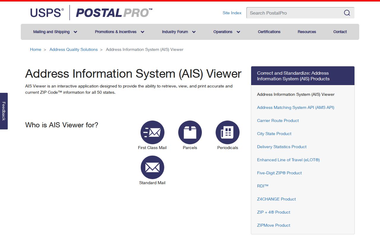
This AIS image belongs at the final validation step. It reinforces why a five-digit ZIP code directory should not replace full-address checking.
Read Lehi ZIP Polygons
UGRC’s ZIP-area layer notes the June 2025 84048 update and warns that delivery polygons approximate USPS areas. The layer also records a January 2019 Utah County 84059 addition and a February 2026 update. Those dates are useful when an online map, an old directory, and a current parcel export disagree.
Use Census QuickFacts only for Lehi city context, population, households, or geography. Do not turn a Census city boundary into a postal boundary. The ZIP code directory remains a postal research aid, while the street and parcel pages hold the address-keyed record chain.
Lehi ZIP Records Have Limits
Utah voter data can include residential and mailing address, year of birth, party affiliation, and vote history under state rules, but it is not a free public household search. The statewide file and who-has-voted report have their own request routes, fees, timing restrictions, and protected-voter handling. A polling map shows election geography, not who voted.
Land Records, GIS, USPS, and the Clerk each maintain different fields. A good ZIP source log records ZIP, full address, city field, parcel serial, source, effective date, access date, and any mismatch. That list makes a Lehi ZIP lookup traceable without claiming that every person in the delivery area is visible.
The USPS change also affects historical comparison. A directory printed before the northern split could use 84043 for a location that now receives 84048. A web export may keep an old mailing field while the postal service has moved the address. Do not “correct” an old source by overwriting its original ZIP. Keep the old value, add the current validation date, and explain the change.
For a family-history search, the ZIP is a filter for place, not an identity key. Search the surname and year in a directory or newspaper, then compare the street and locality. For a parcel question, search the address or serial in Land Records, then check mailing and situs fields. For a current civic question, follow the County Clerk and Vote Utah access rules. The same five digits can support three different research tasks, but the evidence is not interchangeable.
Adjacent 84045 is a useful boundary comparison because the reviewed sources describe it as a Saratoga Springs ZIP, not a verified Lehi-proper code. Other nearby codes should stay out of a complete Lehi table until USPS or UGRC ties them to the city. A postal city label can be close to a municipal edge, so the parcel map controls the land question and USPS controls delivery.
Keep the final record modest. Write the ZIP, full address, city field, parcel serial, USPS result, GIS result, and date. If the layers disagree, report the mismatch and ask the relevant custodian. This is safer and more useful than turning an approximate polygon into a claim about who lives in a neighborhood.